
Delivering aerial security through drone monitoring
The use of drones – also known as unmanned aerial vehicles (UAVs) – is rapidly becoming common practice across multiple industry sectors.
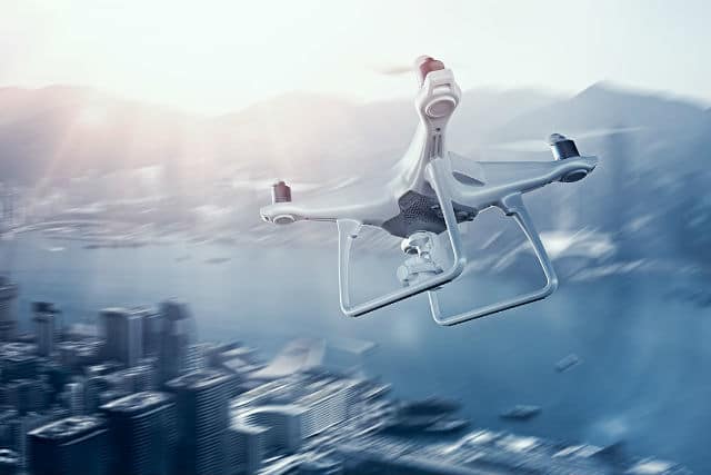
While the majority of drone users are doing so in a responsible manner, and most applications and uses are having a positive impact, their use isn’t without risk and issues. Drones can be used as a mobile ‘flying eye’ to deliver video footage or pictures from the sky, and therefore, they have the potential to be used for corporate espionage or to identify security weaknesses. They can also be used as a mobile and remote delivery tool for illicit goods, or even present a direct attack threat. More innocently – but no less dangerously – drones can present a safety risk when unwittingly flown into airspace where other airborne traffic exists, or to personnel on the ground. As such, organizations need to recognize this new threat, and put in place measures to monitor drones and control them from ground level.
A growing risk, and the need for drone monitoring
Earlier this month, the UK’s Guardian newspaper reported a sharp increase in complaints to police about drones in relation to burglary ‘scoping’, mid-air near-misses, and the smuggling of illicit goods into prisons. When drones can be bought for as little as 35 Euros the potential for some of these devices to be used maliciously is growing.
One of the main challenges is airplane safety. As widely reported, in August, one incident at New York’s JFK airport in August saw a drone flying within 100 feet of two airliners landing at the airport. Between August 2015 and January 216, 583 drone incidents were reported by the FAA (US Federal Administration Aviation). A high proportion of these were minor with pilots or citizens on the ground reported drones that were flying in restricted airspace but not necessarily causing a danger. However, any risk to planes int he air is significant and has the potential to cause a major disaster.
Detecting, monitoring, and dealing with drones
A solution to the issue is the combination of network video cameras with detector sensors and analytics software to detect, monitor and control drones entering an organization’s airspace.
Axis Application Development Partner (ADP) Dedrone has developed a platform solution that aggregates data from its detector sensors and advanced video analytic algorithms on video footage from our network cameras that establish a wide area detection, enable visual localization and allow for mitigation. The solution’s user interface can provide automated visual alarm and notification, while mitigation can take several forms: for example, jamming of the drone’s radio-frequency, signal disturbance by laser, counter drone deployment, and fog bomb.
The solution allows for the protection of sensitive sites; detecting, tracking and monitoring for drones 24/7, providing real-time alerts and identifying potential threats, even if these are several hundred feet above the ground.
The threat presented by the growth in the usage of drones – whether entirely innocent or planned with malicious intent – is real and increasing. From both a safety and security perspective, it’s essential that organizations of all types recognize the risks to their business, employees, and customers and act now.
Story credit: Axis Communications
Source: https://www.axis.com/blog/secure-insights/internet-of-things-reshaping-security/
This article was originally published by Axis Communications, Principal Exhibition and Registration Sponsor for the Security Exhibition & Conference.
Press Release: Dedrone and Axis Communications Join as Preferred Vendors for Complete Global Aerial Security
For more information on Dedrone and the DroneTracker software system, visit www.dedrone.com or get more details about Axis’ perimeter protection and critical infrastructure solutions on Axis Industries & Applications pages.
-
Bring your security needs into focus
- Register